
PlanInspect features
The tools that matter when a plan becomes a field decision.
Explore each PlanInspect workflow in depth: DWG viewing, scale-aware measurement, redlines, photo notes, layers, and offline review.
Product principle
Every feature answers a concrete review job. Full CAD authoring, cloud collaboration, and unverified automation stay deliberately outside the promise.
Feature index
Choose the job to be done, not a wall of tool icons.
DWG
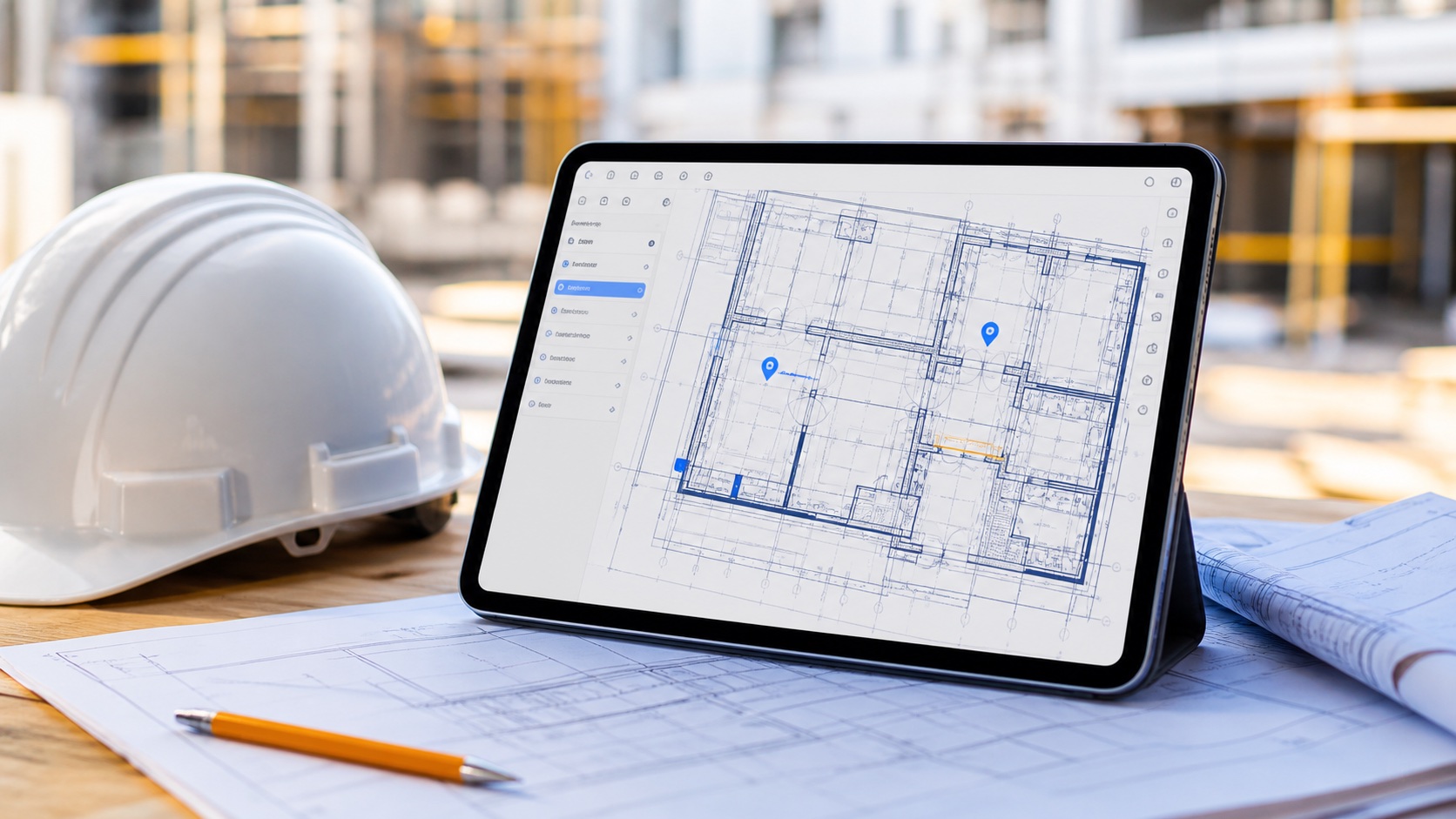
DWG viewer
Open local DWG drawings without uploading them to a conversion service. Move from model space to layouts, isolate useful layers, inspect geometry, and leave the source drawing untouched while you review it.
DWG + PDF
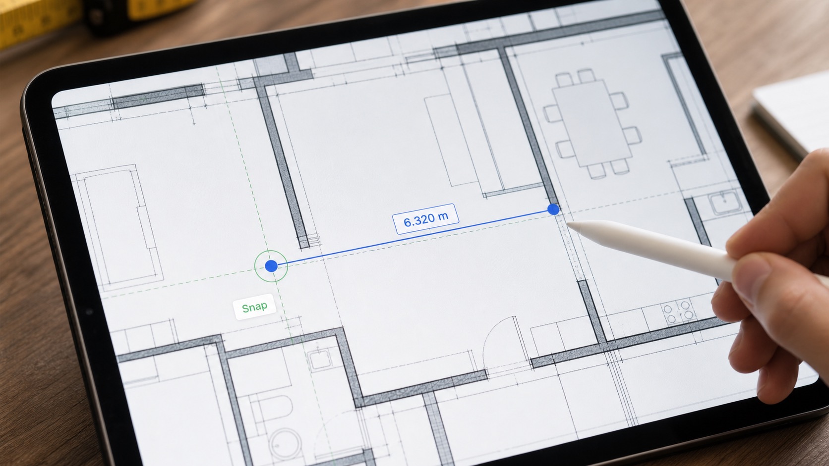
Measure plans
Place distance and area measurements directly on the plan. DWG geometry can provide drawing context and snapping; PDF sheets use an explicit scale ratio or two-point calibration before measurements are trusted.
DWG + PDF
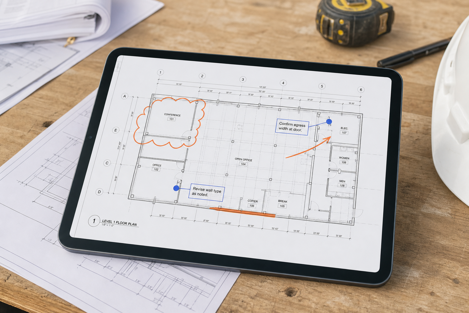
Annotate plans
Draw attention to the exact location with pen, highlighter, text, and structured notes. Markups belong to the review state, so the team can understand the issue without silently rewriting the source drawing.
DWG + PDF
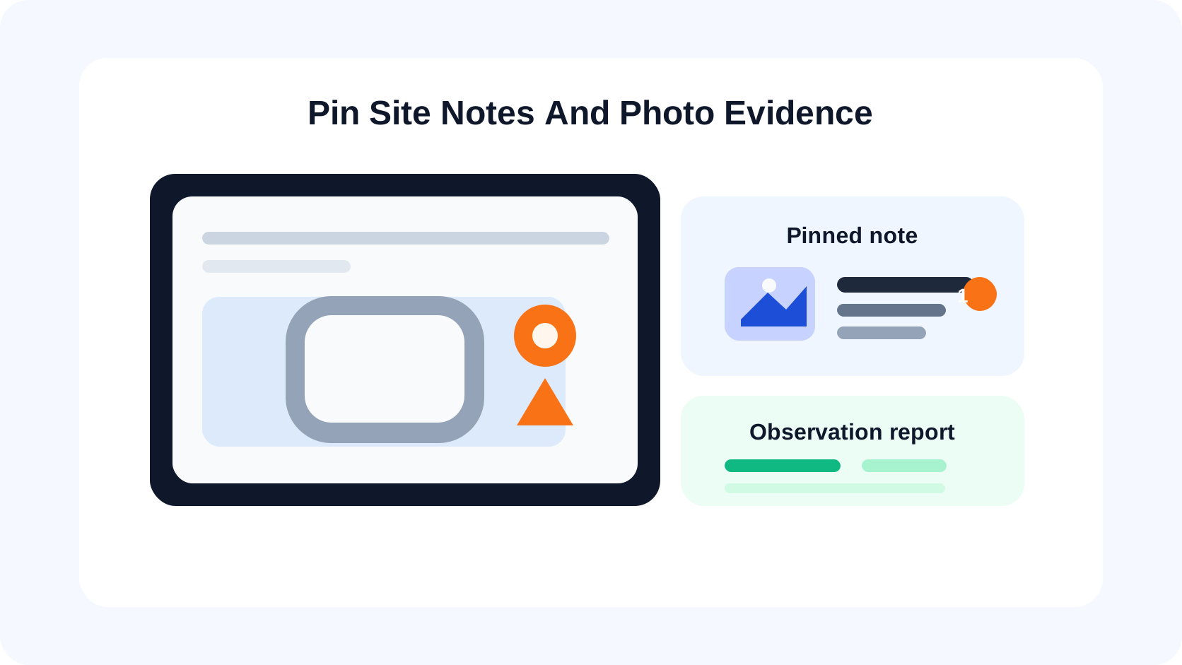
Site notes & photos
Place the observation on the drawing, add the written context and photo evidence, then keep the plan and note together. The recipient sees the location before reading a vague room description.
DWG
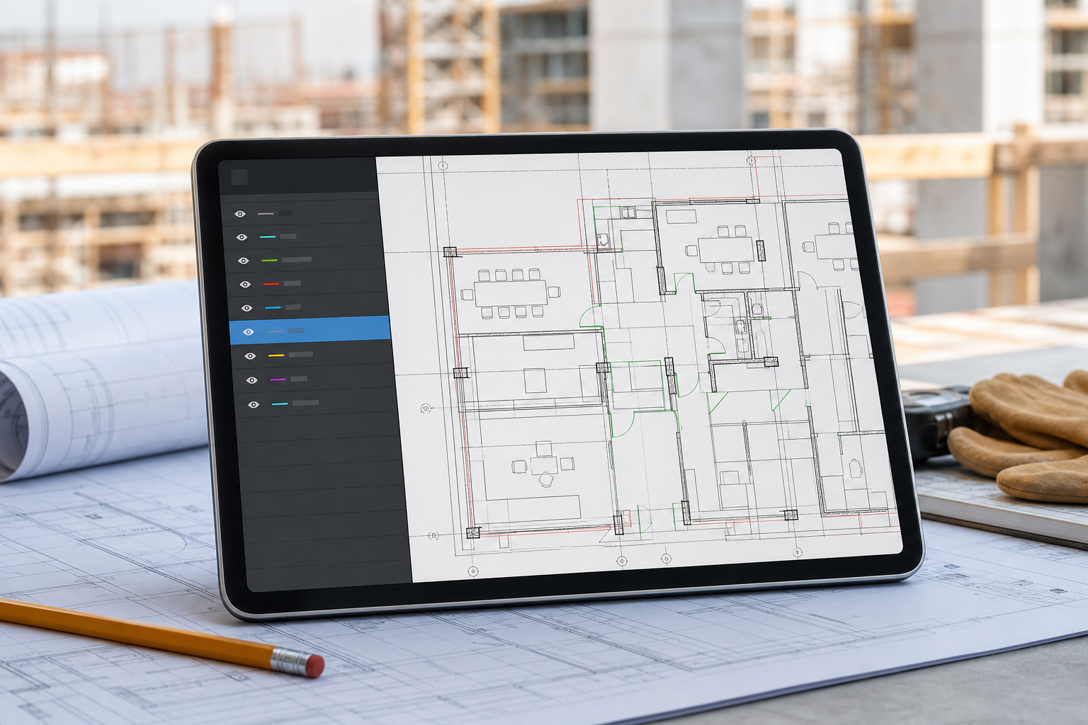
DWG layers & layouts
Move between model space and supported layouts, then reduce drawing noise by controlling layer visibility. The goal is not to redesign the file; it is to reveal the information needed for the review.
DWG + PDF
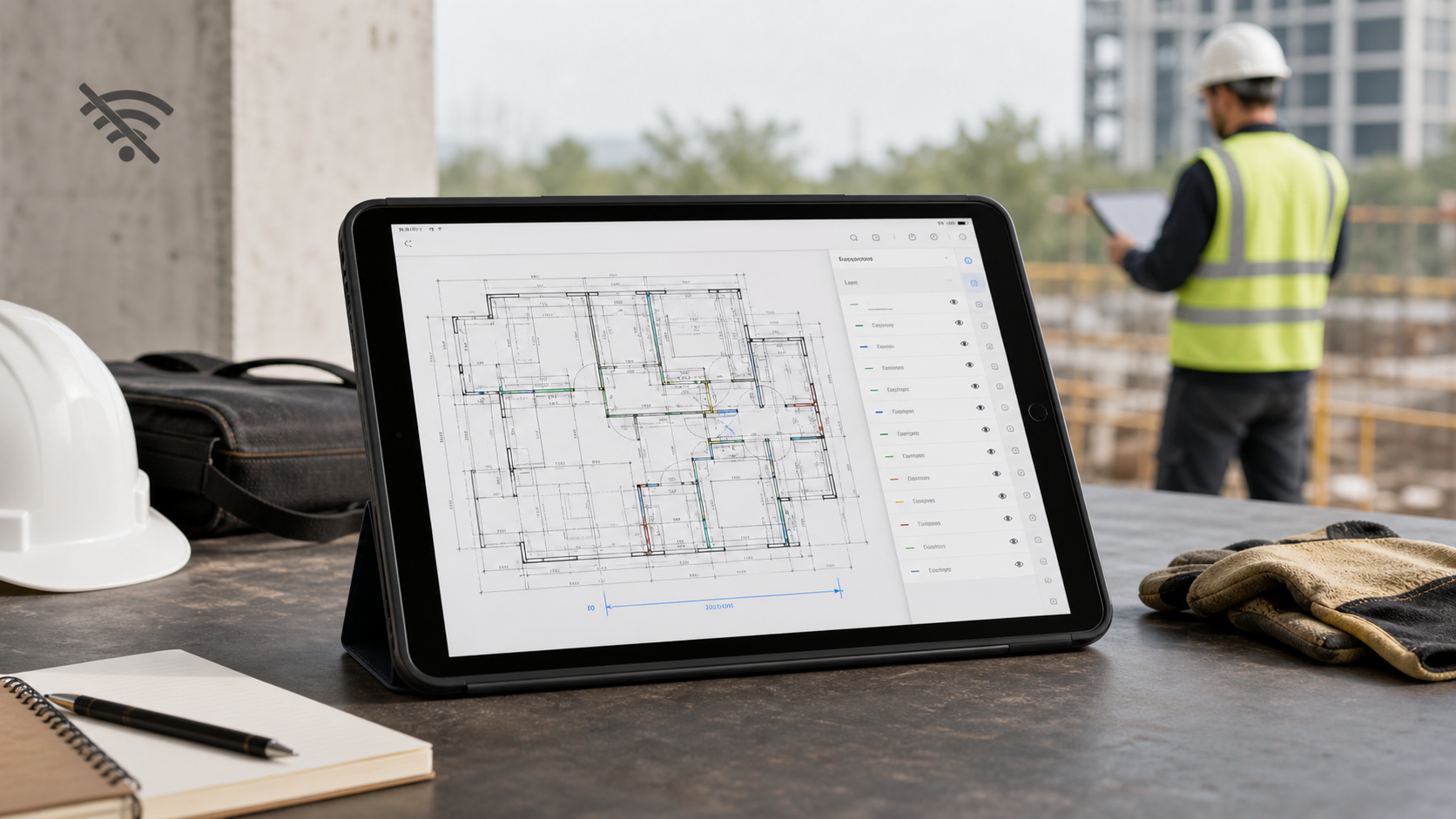
Offline plan review
Keep the core review workflow on the device: open a local plan, navigate, measure, annotate, and prepare a handoff without a required account or mandatory upload to a conversion server.
Fast route
Which page matches your next plan check?
I need to open a CAD file I received.
Keep layout, layer, and DWG drawing context.
I need to verify a distance or area.
Understand PDF calibration and available snapping.
I need to flag a discrepancy clearly.
Add a redline without changing source geometry.
I need to document an observation with a photo.
Keep evidence, note, and plan location together.
The drawing contains too much information.
Choose a layout and hide unrelated supported layers.
The site has weak or no connectivity.
Prepare a local workflow without account or mandatory conversion.
Try one feature on a real plan.
Open your own DWG or PDF on iPhone, iPad, or Mac.